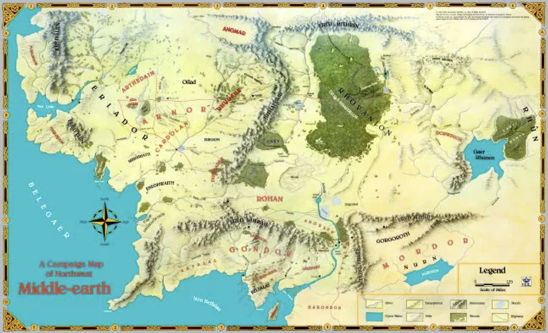
Lord of the Rings (Middle Earth) map
Lord of the Rings (Middle Earth) Map. Iron Crown Enterprises commissioned me to create their Middle Earth map. This was designed as an insert map for their upcoming book publication, Middle Earth. The artwork was painted at roughly 115% on 200lb watercolour paper. I created the base map artwork, while Iron Crown added the text, border art, and for some reason, made the large bodies of water bright blue. I have created a number of similar maps for various publishers such as TSR, Wizards of the Coast, R. Talsorian Games, and Columbia Games, to name only a few, and I created a number of smaller maps for Iron Crown Publishing.
This map was well received upon its publication. Today, I render these sorts of maps as much as 150% larger than the final intended printed size, and then, after the art has been scanned at 300 - 400 dpi, I create the type using Adobe Illustrator and Photoshop. I often see these types of art projects as being the most rewarding once completed with this map, the Middle Earth map as being a one of the best projects I have been commissioned to create.
|
|
Painting Specifications:
Medium: Watercolours and Gouaché
Size: 34w x 24h-inches (approx)
Surface: Watercolour Paper
Completed: 1989
Medium: Watercolours and Gouaché
Size: 34w x 24h-inches (approx)
Surface: Watercolour Paper
Completed: 1989
HOME • NATURAL HISTORY • BOOK ARTWORKS • PEN & INK • INK PRINTS • COLORED ART • ART SHOWS • PAINT NITE • BIO • CONTACT • LINKS
